 Preview · the opening mission
Read this to the class:
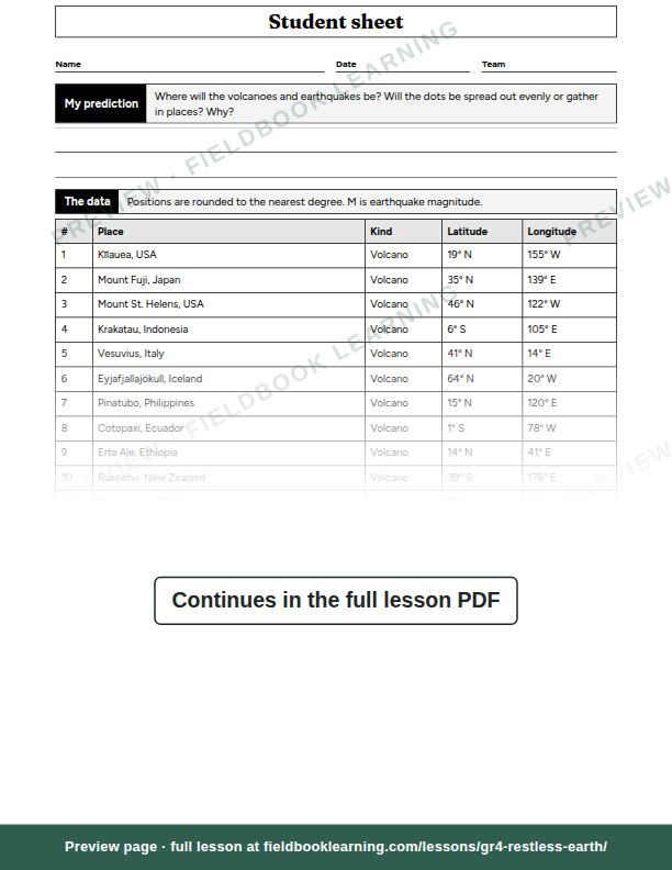
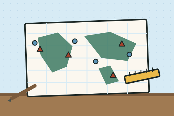
The Emergency Agency's map room has burned down, and with it every map of where volcanoes and earthquakes happen. All that is left is a table of real places, written as numbers. "Numbers won't help a family choose where to build a school," says the chief. "A map might." Your team's job: turn the numbers into a map and find the pattern.
Teams of three, with rotating jobs: Plotter (marks the dots), Checker (reads each position aloud and checks it) and Recorder (writes the pattern and the notes).
Look inside the PDF
Sample pages, stamped “preview”. The download is the clean, full lesson.
In the full lesson PDF
- Predict (5–10 min)
- Hunt (25 min)
- Reveal (10–15 min)
- Act (10 min)
- Background for the teacher
- Assessment
- Student sheet
- Worksheet: Label it
- Worksheet: Try it at home
On the student sheet
- My prediction
- The data
- What I found
- Three cities
- A note for the Emergency Agency
- Exit ticket
- Label it
- Try it at home
US Letter, prints cleanly in black and white. The student sheet is on its own page, ready to photocopy.
Free with an account (any 3 lessons), or US$19 / C$25 for all 4 lessons in this unit.
What students show by the end
- Plots correctly
- Finds the pattern
- Uses evidence
From the lesson’s rubric, which scores each one as not yet, getting there or got it.
Questions teachers ask
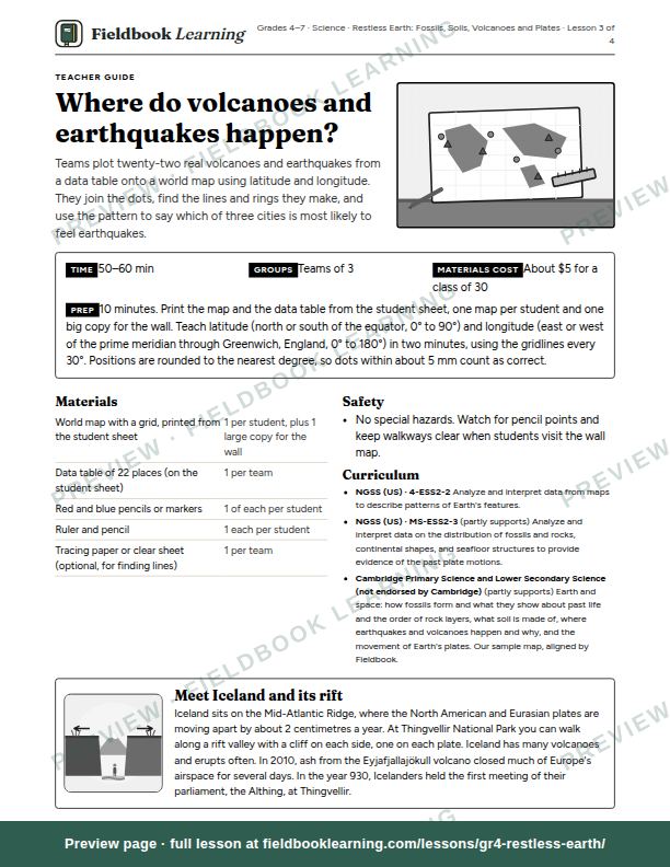
How long does “Where do volcanoes and earthquakes happen?” take?
50–60 min. Group size: teams of 3.
How much prep does it need?
10 minutes. Print the map and the data table from the student sheet, one map per student and one big copy for the wall. Teach latitude (north or south of the equator, 0° to 90°) and longitude (east or west of the prime meridian through Greenwich, England, 0° to 180°) in two minutes, using the gridlines every 30°. Positions are rounded to the nearest degree, so dots within about 5 mm count as correct.
What materials do I need?
World map with a grid, printed from the student sheet; data table of 22 places (on the student sheet); red and blue pencils or markers; ruler and pencil; tracing paper or clear sheet (optional, for finding lines). Cost: about $5 for a class of 30.
Which curriculum standards does it cover?
NGSS (US): 4-ESS2-2 and MS-ESS2-3 (partly). It also matches Cambridge Primary Science and Lower Secondary Science (not endorsed by Cambridge).
What’s in the lesson PDF?
A teacher guide that walks you through predict, hunt, reveal, act, background for the teacher and assessment, then a student sheet (“My prediction”, “The data”, “What I found”, “Three cities”, “A note for the Emergency Agency”, “Exit ticket”, “Label it” and “Try it at home”) on its own page, ready to photocopy. It’s US Letter and prints cleanly in black and white.
Can I try it for free?
Yes. A free account includes any 3 full lessons of your choice, and this can be one of them. After that, this unit is US$19 (C$25) for all 4 lessons, yours to keep, or every lesson is US$79 (C$109) a year.